


Unofficial guide. Not the National Monuments Service, the OPW, Fáilte Ireland or the landowner. Disclaimer
At a glance
- TypeWaterfall
Picked out from the Archaeological Survey description below.
Can you visit?
- No source says it is open to the public.Most monuments in Ireland stand on private farmland.
- Ask the landowner before crossing fields, close gates, leave the stones as you find them.Visiting responsibly
About
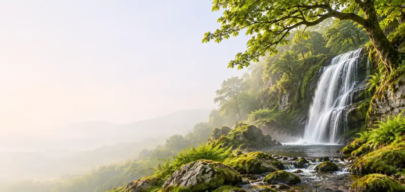
Waterfall in Ennistymon, County Clare, Ireland.
Wikidata (CC0).
Also recorded nearby
Named sites within 5 km with only a short entry in the Archaeological Survey.
- ToberinneenboyRitual site - holy well · Tullygarvan West · 4.2 km · official record
Visitors' notes
Badges are opinions of visitors - not verified facts. One vote per badge and visitor; no account needed.
Best time to visit
What's missing on this page?
Share a tip to find it
Share a local tradition or story
Suggest a correction
Suggest the right map location
Report a duplicate page
Ask a question
Do not include personal data. See our privacy notice.
Around Ennistymon Falls
Other heritage nearby
- Kilshanny AbbeyAbbey or friary · 4.2 km
- ToberinneenboyHoly well · 4.9 km
- Kilcarragh ChurchAncient church · 7.3 km
- Kilfenora monastic siteMonastic site · 7.7 km
- North Cross, KilfenoraHigh cross · 7.7 km
- Doorty's Cross, KilfenoraHigh cross · 7.7 km
Recorded within 5 km
- 54 ringfortsArchaeological Survey of Ireland
- 7 holy wellsArchaeological Survey of Ireland
- 4 ancient churchesArchaeological Survey of Ireland
- 4 castlesArchaeological Survey of Ireland
- 2 standing stonesArchaeological Survey of Ireland
- 1 megalithic tombArchaeological Survey of Ireland
- 1 monastic siteArchaeological Survey of Ireland
- 1 abbey or friaryArchaeological Survey of Ireland
Walks and trails
- Doolin Cycle Hub Loop 2Road Cycling Trail · 37.5 km · nearest point 0.1 km
- Burren WayLong Distance Waymarked Way · 118.8 km · nearest point 3.6 km
- Doolin Cycle Hub Loop 3Road Cycling Trail · 42.7 km · nearest point 5.9 km
Outdoors, towns and places to stay
- Gragan's WoodForests · 15 km
- LahinchBeaches · 3.8 km · Good Quality (2025)
- White Strand, Miltown MalbayBeaches · 12 km · Excellent Quality (2025)
- Ballyteigue Nature ReserveNature reserves · 9.8 km
- Inchiquin HouseHistoric stays · 15 km
- Newpark HouseHistoric stays · 25 km
Other attractions nearby
- Clare Kayak HireNature and Wildlife · 3.0 km
- Cormac’s Coast Tour of the Cliffs of MoherNature and Wildlife · 8.5 km
- ClahaneNatural Landscape · 8.5 km
- Cliffs of Moher Walking ToursNature and Wildlife · 9.1 km