
Unofficial guide. Not the National Monuments Service, the OPW, Fáilte Ireland or the landowner. Disclaimer
At a glance
- TypeEcclesiastical enclosure
- StatusNational Monument
Picked out from the Archaeological Survey description below.
Can you visit?
- No source says it is open to the public.Most monuments in Ireland stand on private farmland.
- Ask the landowner before crossing fields, close gates, leave the stones as you find them.Visiting responsibly
History and description
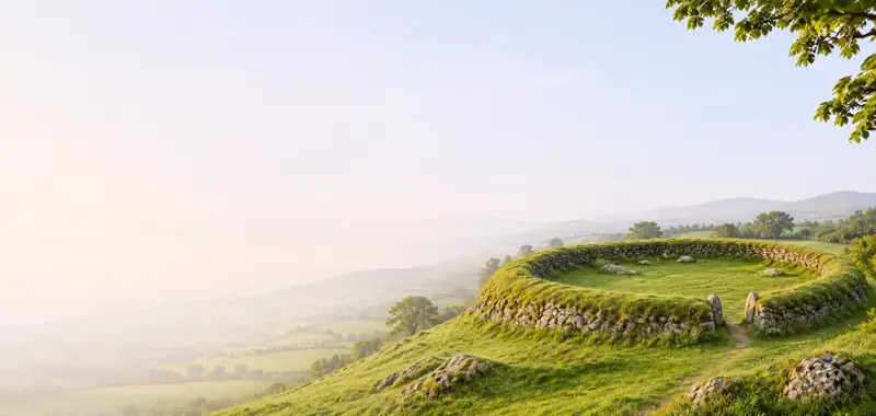
Situated on a gentle N-facing slope in an area of undulating pasture. Listed as ‘Ecclesiastical enclosure’ in the SMR (1992) and the RMP (1996).
Full archaeological record 75 words
Situated on a gentle N-facing slope in an area of undulating pasture. Listed as ‘Ecclesiastical enclosure’ in the SMR (1992) and the RMP (1996). The curving street at SW, the townland boundary to NW and the laneway to NE of Kilfenora Cathedral (CL016-015002-) may represent the outline of an ecclesiastical enclosure. Swan (1991, 110, 112) noted this and also commented that the ‘partly natural’ rocky platform NW of the church might represent an inner enclosure.
Archaeological Survey of Ireland, National Monuments Service (CC BY 4.0) · Compiled by Mary Tunney · Updated 4 September 2018. It describes the site as it was when surveyed.
Also recorded nearby
Named sites within 5 km with only a short entry in the Archaeological Survey.
- Noughaval Round TowerRound tower · Noughaval (Burren By.) · 3.7 km · official record
Visitors' notes
Badges are opinions of visitors - not verified facts. One vote per badge and visitor; no account needed.
Best time to visit
What's missing on this page?
Share a tip to find it
Share a local tradition or story
Suggest a correction
Suggest the right map location
Report a duplicate page
Ask a question
Do not include personal data. See our privacy notice.
Around Kilfenora monastic site
Other heritage nearby
- South Cross, KilfenoraHigh cross · 0.1 km
- Doorty's Cross, KilfenoraHigh cross · 0.1 km
- Kilfenora Cathedral and CrossesHigh cross · 0.1 km
- North Cross, KilfenoraHigh cross · 0.1 km
- Kilcarragh ChurchAncient church · 0.4 km
- Noughaval ChurchAncient church · 3.7 km
Recorded within 5 km
- 114 ringfortsArchaeological Survey of Ireland
- 14 megalithic tombsArchaeological Survey of Ireland
- 11 castlesArchaeological Survey of Ireland
- 6 high crossesArchaeological Survey of Ireland
- 6 holy wellsArchaeological Survey of Ireland
- 5 ancient churchesArchaeological Survey of Ireland
- 2 standing stonesArchaeological Survey of Ireland
- 1 monastic siteArchaeological Survey of Ireland
- 1 round towerArchaeological Survey of Ireland
- 1 caveArchaeological Survey of Ireland
- 1 abbey or friaryArchaeological Survey of Ireland
Walks and trails
- Doolin Cycle Hub Loop 3Road Cycling Trail · 42.7 km · nearest point 0.4 km
- Doolin Cycle Hub Loop 4Road Cycling Trail · 46.4 km · nearest point 5.3 km
- Doolin Cycle Hub Loop 2Road Cycling Trail · 37.5 km · nearest point 7.2 km
Outdoors, towns and places to stay
- Gragan's WoodForests · 7.7 km
- LahinchBeaches · 11 km · Good Quality (2025)
- FanoreBeaches · 15 km · Excellent Quality (2025)
- Ballyteigue Nature ReserveNature reserves · 5.0 km
- Keelhilla, Slieve Carron Nature ReserveNature reserves · 18 km
- Inchiquin HouseHistoric stays · 11 km
- Newpark HouseHistoric stays · 23 km
Other attractions nearby
- Fiadh Irish WolfhoundsWalking · 6.5 km
- Burren Hill WalksWalking · 9.3 km
- Gleninsheen Wedge TombHistoric Houses and Castle · 9.4 km
- Kilnaboy Medieval Church and Round TowerHistoric Houses and Castle · 9.5 km