
Unofficial guide. Not the National Monuments Service, the OPW, Fáilte Ireland or the landowner. Disclaimer
Description
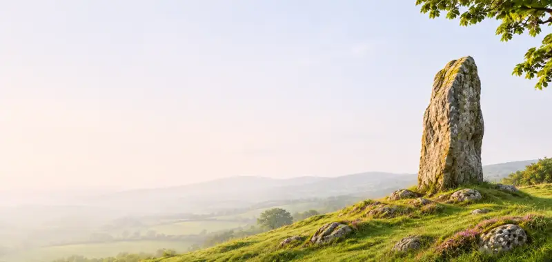
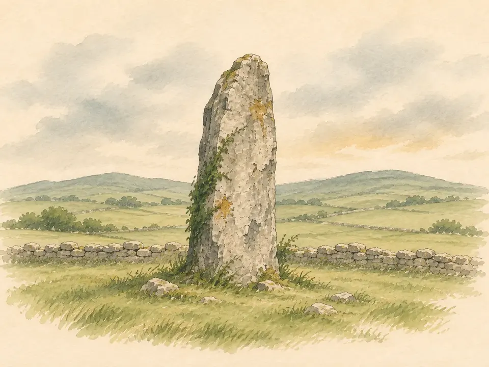
National Monument No. 355. Gallaunmore/Gallán Mór stands on level ground towards the west side of the broad valley that surrounds Trabeg.
- TypeStanding stone
- StatusNational Monument
Summary and points drawn from the Archaeological Survey of Ireland; reference codes and citations are in the full record.
Full archaeological record 34 words
National Monument No. 355. Gallaunmore/Gallán Mór stands on level ground towards the W side of the broad valley that surrounds Trabeg. It is 4.2m high, 1.8m wide and a maximum of .95m thick; E-W.
Archaeological Survey of Ireland, National Monuments Service (CC BY 4.0) · Updated 3 August 2013 · Based on the J. Cuppage, ‘Corca Dhuibhne. Dingle Peninsula archaeological survey. Ballyferriter. Oidhreacht Chorca Dhuibhne. Unedited, as surveyed.
Can you visit?
- No source says it is open to the public.Most monuments in Ireland stand on private farmland.
- Ask the landowner before crossing fields, close gates, leave the stones as you find them.Visiting responsibly
More standing stones nearby

Visitors' notes
Badges are opinions of visitors - not verified facts. One vote per badge and visitor; no account needed.
Best time to visit
What's missing on this page?
Share a tip to find it
Share a local tradition or story
Suggest a correction
Suggest the right map location
Report a duplicate page
Ask a question
Do not include personal data. See our privacy notice.
Around Gallaunmore
Other heritage nearby
- ToberaroonHoly well · 0.8 km
- Ballintaggart Ogham StonesOgham stone · 1.9 km
- TobermurryHoly well · 2.6 km
- Doonmanagh Wedge tombMegalithic tomb · 4.9 km
- Kilfountan ChurchAncient church · 6.1 km
- Kilfountan monastic settlementMonastic site · 6.1 km
Recorded within 5 km
- 80 ringfortsArchaeological Survey of Ireland
- 21 standing stonesArchaeological Survey of Ireland
- 9 ogham stonesArchaeological Survey of Ireland
- 8 holy wellsArchaeological Survey of Ireland
- 6 ancient churchesArchaeological Survey of Ireland
- 5 monastic sitesArchaeological Survey of Ireland
- 5 promontory fortsArchaeological Survey of Ireland
- 3 castlesArchaeological Survey of Ireland
- 3 megalithic tombsArchaeological Survey of Ireland
Walks and trails
- Dingle WayLong Distance Waymarked Way · 163.0 km · nearest point 2.7 km
- Siúlóid na nGleanntaWalking Trail · 2.3 km · nearest point 6.3 km
- Cosan na Naomh (Saints Road)Pilgrim Path · 17.7 km · nearest point 8.8 km
Outdoors, towns and places to stay
- Fionntrá (Ventry)Beaches · 9.6 km · Excellent Quality (2025)
- Béal BánBeaches · 13 km
- Mount Brandon Nature ReserveNature reserves · 14 km
- Castlemaine Harbour Nature ReserveNature reserves · 19 km
- DingleWalled towns · 3.0 km
Other attractions nearby
- Doonshean BeachNature and Wildlife · 1.7 km
- Kinard BeachNatural Landscape · 2.3 km
- SaoirseWalking · 2.8 km
- Elegant Dingle ToursNature and Wildlife · 2.9 km
What's on nearby
- Dingle Literary Festival 20262026-11-20 · 3.3 km
- Dingle Literary Festival 20262026-11-21 · 3.3 km
- Dingle Literary Festival 20262026-11-22 · 3.3 km