
Unofficial guide. Not the National Monuments Service, the OPW, Fáilte Ireland or the landowner. Disclaimer
At a glance
- TypeEcclesiastical enclosure
- StatusNational Monument
Picked out from the Archaeological Survey description below.
Can you visit?
- No source says it is open to the public.Most monuments in Ireland stand on private farmland.
- Ask the landowner before crossing fields, close gates, leave the stones as you find them.Visiting responsibly
History and description
National Monument No. 10046. Calluragh burial ground/An Cheallúnach: This site is located on a very gentle S facing slope at the head of the broad valley that extends N from Dingle Harbour.
Full archaeological record 257 words
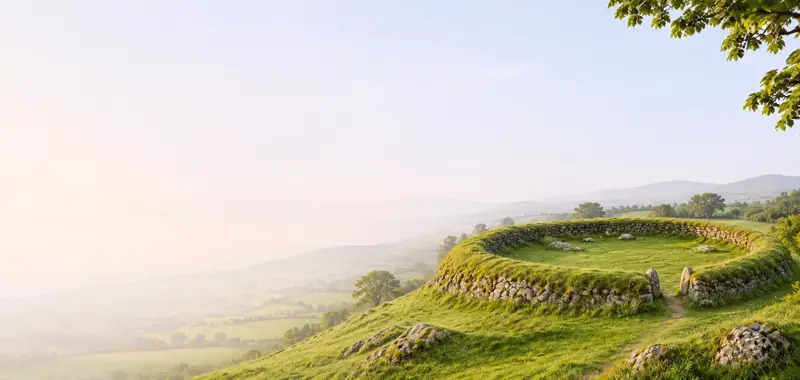
National Monument No. 10046. Calluragh burial ground/An Cheallúnach: This site is located on a very gentle S facing slope at the head of the broad valley that extends N from Dingle Harbour. It consists of a subrectangular enclosure, within which are a burial ground, a large stone cross and remains of a possible hut.
The enclosure measures 28.6m E-W x 30.3m N-S internally and is defined on all sides by a stony bank, no more than .75m high. It is not clear whether this represents the debris from a stone wall or from a stone-faced earthen bank. Nor is it clear where the original entrance lay. There are gaps in the bank at S and at the NE corner and there are 2 possible jambstones standing about 1m apart in the E bank; these are .4m high.
The burial ground (KE043-013002-) occupies an irregular area covering much of the E half of the enclosure and few graves are now visible outside this area. The individual graves are generally comprised of low mounds, no more than 1.5m in length, sometimes marked at each end by allow upright.
Within the burial area is the stone cross (KE043-013003-) which stands 1.72m high above its modern base. On its SSE face is inscribed a large Latin cross with T-bar terminals, the crossing of arms and shaft surrounded by 2 large concentric circles.
The remains of a rectangular hut (KE043-013004-), 3.2 x 2.5m internally, abut the enclosure bank at S, its walls now reduced to stony banks no more than .4m high.
Archaeological Survey of Ireland, National Monuments Service (CC BY 4.0) · Updated 8 August 2013 · Based on the J. Cuppage, ‘Corca Dhuibhne. Dingle Peninsula archaeological survey. Ballyferriter. Oidhreacht Chorca Dhuibhne. It describes the site as it was when surveyed.
More monastic sites nearby
 National Monument
Kilmalkedar
Ecclesiastical site · Cill Maoilchéadair · Kerry · 2.3 km away
Kilfountan monastic settlement
Ecclesiastical enclosure · Cill Fhiontain · Kerry · 3.1 km away

Gallarus monastic site
Ecclesiastical enclosure · Gallaras · Kerry · 3.5 km away
National MonumentMaumanorig Early Medieval Ecclesiastical Site
Ecclesiastical enclosure · Mám An Óraigh · Kerry · 6.0 km away
 Visitor site National Monument
Reask Monastic Site
Ecclesiastical enclosure · An Riasc · Kerry · 6.1 km away
 National Monument
Illauntannig Early Medieval Ecclesiastical Site
Ecclesiastical enclosure · Illauntannig · Kerry · 25 km away
Visitors' notes
Badges are opinions of visitors - not verified facts. One vote per badge and visitor; no account needed.
Best time to visit
What's missing on this page?
Share a tip to find it
Share a local tradition or story
Suggest a correction
Suggest the right map location
Report a duplicate page
Ask a question
Do not include personal data. See our privacy notice.
Around Reenconnell
Other heritage nearby
- Kilmalkedar ChurchAncient church · 2.3 km
- oratory (site of)Ancient church · 2.3 km
- Caherdorgan NorthRingfort · 2.6 km
- St. Brendan's OratoryAncient church · 2.6 km
- Kilfountan ChurchAncient church · 3.1 km
- Gallarus OratoryAncient church · 3.5 km
Recorded within 5 km
- 45 ringfortsArchaeological Survey of Ireland
- 22 standing stonesArchaeological Survey of Ireland
- 13 ancient churchesArchaeological Survey of Ireland
- 12 holy wellsArchaeological Survey of Ireland
- 10 monastic sitesArchaeological Survey of Ireland
- 3 castlesArchaeological Survey of Ireland
- 3 ogham stonesArchaeological Survey of Ireland
- 2 high crossesArchaeological Survey of Ireland
- 1 megalithic tombArchaeological Survey of Ireland
- 1 promontory fortArchaeological Survey of Ireland
Walks and trails
- Cosan na Naomh (Saints Road)Pilgrim Path · 17.7 km · nearest point 1.4 km
- Siúlóid na nGleanntaWalking Trail · 2.3 km · nearest point 1.5 km
- Dingle WayLong Distance Waymarked Way · 163.0 km · nearest point 4.2 km
Outdoors, towns and places to stay
- Béal BánBeaches · 7.1 km
- Fionntrá (Ventry)Beaches · 7.4 km · Excellent Quality (2025)
- Mount Brandon Nature ReserveNature reserves · 10 km
- DingleWalled towns · 5.5 km
Other attractions nearby
- Kilmalkedar ChurchHistoric Houses and Castle · 2.4 km
- Gallarus Oratory Visitor CentreMuseums and Attraction · 3.5 km
- Murreagh BeachNatural Landscape · 3.9 km
- Writers WallAttraction · 4.8 km
What's on nearby
- Dingle Literary Festival 20262026-11-20 · 5.3 km
- Dingle Literary Festival 20262026-11-21 · 5.3 km
- Dingle Literary Festival 20262026-11-22 · 5.3 km