


Unofficial guide. Not the National Monuments Service, the OPW, Fáilte Ireland or the landowner. Disclaimer
At a glance
- TypeWaterfall
Picked out from the Archaeological Survey description below.
Can you visit?
- No source says it is open to the public.Most monuments in Ireland stand on private farmland.
- Ask the landowner before crossing fields, close gates, leave the stones as you find them.Visiting responsibly
About
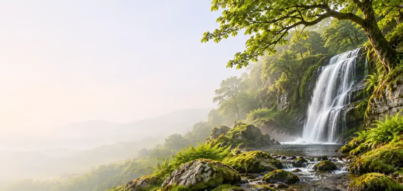
Waterfall in Ireland.
Wikidata (CC0).
Visitors' notes
Badges are opinions of visitors - not verified facts. One vote per badge and visitor; no account needed.
Best time to visit
What's missing on this page?
Share a tip to find it
Share a local tradition or story
Suggest a correction
Suggest the right map location
Report a duplicate page
Ask a question
Do not include personal data. See our privacy notice.
Around Aasleagh
Other heritage nearby
- TobermurryHoly well · 2.9 km
- TobernashaghtninneenHoly well · 6.5 km
Recorded within 5 km
- 2 holy wellsArchaeological Survey of Ireland
- 1 ancient churchArchaeological Survey of Ireland
- 1 megalithic tombArchaeological Survey of Ireland
Walks and trails
- Western Way - MayoLong Distance Waymarked Way · 130.5 km · nearest point 0.3 km
- Louisburgh Cycle Hub Loop 3 (Derrymore)Road Cycling Trail · 25.9 km · nearest point 9.5 km
Outdoors, towns and places to stay
- TawnyardForests · 4.1 km
- Glassilaun, KillaryBeaches · 14 km
- Silver Strand LouisburghBeaches · 15 km
- Derryclare Nature ReserveNature reserves · 16 km
- Oldhead Wood Nature ReserveNature reserves · 19 km
- Delphi LodgeHistoric stays · 5.2 km
Other attractions nearby
- Connemara Salmon SchoolNature and Wildlife · 3.5 km
- Delphi ResortWalking · 5.6 km
- Killary HarbourNature and Wildlife · 6.7 km
- Connemara Adventure ToursNature and Wildlife · 7.1 km