


Unofficial guide. Not the National Monuments Service, the OPW, Fáilte Ireland or the landowner. Disclaimer
At a glance
- TypeStanding stone
- Recorded sizetotal H. 7m; lower L 0.96m N-S; W 0.65m
- StatusNational Monument
Picked out from the Archaeological Survey description below.
Can you visit?
- No source says it is open to the public.Most monuments in Ireland stand on private farmland.
- Ask the landowner before crossing fields, close gates, leave the stones as you find them.Visiting responsibly
History and description
A National Monument (No. 305). The stone had fallen towards the NE and before its re-erection in 1934, detailed drawings were done and its socket was excavated which revealed a small cist (KD024-009002-) at SW (Leask 1937, 250-52).
Full archaeological record 86 words
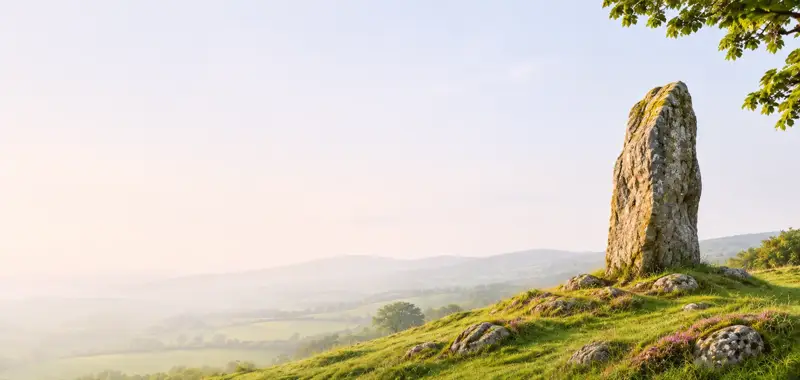
A National Monument (No. 305). The stone had fallen towards the NE and before its re-erection in 1934, detailed drawings were done and its socket was excavated which revealed a small cist (KD024-009002-) at SW (Leask 1937, 250-52). On slightly elevated ground in good pasture. A tall tapering granite pillar (total H. 7m; lower L 0.96m N-S; Wth 0.65m) with the lower portion (H 1.2m) set into a socket, and weighing some nine tons (ibid.). (Killanin and Duignan 1967, 384; Harbison 1975, 126; Weir 1980, 167)
Archaeological Survey of Ireland, National Monuments Service (CC BY 4.0) · Compiled by Gearóid Conroy · Updated 11 June 2012. It describes the site as it was when surveyed.
Visitors' notes
Badges are opinions of visitors - not verified facts. One vote per badge and visitor; no account needed.
Best time to visit
What's missing on this page?
Share a tip to find it
Share a local tradition or story
Suggest a correction
Suggest the right map location
Report a duplicate page
Ask a question
Do not include personal data. See our privacy notice.
Around Punchestown Longstone
Other heritage nearby
- Bride's WellHoly well · 2.8 km
- Killashee Church TowerAncient church · 2.9 km
- St David's ChurchAncient church · 3.7 km
- Furness ChurchAncient church · 3.9 km
- St Bridget's WellHoly well · 6.3 km
- Kilteel CastleCastle · 8.1 km
Recorded within 5 km
- 17 castlesArchaeological Survey of Ireland
- 10 ancient churchesArchaeological Survey of Ireland
- 6 holy wellsArchaeological Survey of Ireland
- 5 ringfortsArchaeological Survey of Ireland
- 4 standing stonesArchaeological Survey of Ireland
- 3 abbeys & friariesArchaeological Survey of Ireland
- 2 monastic sitesArchaeological Survey of Ireland
Walks and trails
- Blessington GreenwayGreenway · 5.7 km · nearest point 6.4 km
- Blessington GreenwayGreenway · 5.7 km · nearest point 6.4 km
- Grand Canal WayLong Distance Waymarked Way · 123.9 km · nearest point 6.8 km
Outdoors, towns and places to stay
- Slievethoul and LuggForests · 13 km
- Pollardstown Fen Nature ReserveNature reserves · 14 km
- NaasWalled towns · 3.7 km
- KilcullenbridgeWalled towns · 10 km
- Martinstown HouseHistoric stays · 16 km
- Castletown Round HouseHistoric stays · 18 km
Other attractions nearby
- Naas Adventure SportsNature and Wildlife · 3.9 km
- Harristown HouseHistoric Houses and Castle · 7.9 km
- Kilteel CastleHistoric Houses and Castle · 8.1 km
- Bodenstown GraveyardHistoric Houses and Castle · 8.6 km
What's on nearby
- West Wicklow Festival 20262026-11-13 · 8.7 km
- West Wicklow Festival 20262026-11-14 · 8.7 km
- Land of Light2026-11-14 · 19 km
Excavations nearby
- E1570 Kill Hill 1, County KildareRoad-scheme excavation report (TII) · 7.5 km
- E1571 Kill Hill 3, County KildareRoad-scheme excavation report (TII) · 7.6 km