
Unofficial guide. Not the National Monuments Service, the OPW, Fáilte Ireland or the landowner. Disclaimer
At a glance
- TypeStanding stone
- Recorded sizeH 1.75m; L 1.7m ; T 0.95m
- StatusNational Monument
What to look for
- Standing upright
Picked out from the Archaeological Survey description below.
Can you visit?
- No source says it is open to the public.Most monuments in Ireland stand on private farmland.
- Ask the landowner before crossing fields, close gates, leave the stones as you find them.Visiting responsibly
History and description
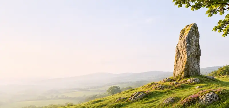
This standing stone (H 1.75m; L 1.7m ; T 0.95m) is roughly square-shaped, with a rectangular cross-section; its long axis is aligned NNE-SSW. Situated on low-lying level ground close to the Isle Burn river.
Full archaeological record 44 words
This standing stone (H 1.75m; L 1.7m ; T 0.95m) is roughly square-shaped, with a rectangular cross-section; its long axis is aligned NNE-SSW. Situated on low-lying level ground close to the Isle Burn river. It is a National Monument in state guardianship (No. 453).
Archaeological Survey of Ireland, National Monuments Service (CC BY 4.0) · Compiled by Brian Lacey with Eamon Cody, Claire Cotter, Judy Cuppage, Noel Dunne, Vincent Hurley, Celie O'Rahilly, Paul Walsh and Seán Ó Nualláin (Lifford: Donegal County Council, 1983). In certain instances the entries have been revised and updated · Updated 22 September 2008. It describes the site as it was when surveyed.
Visitors' notes
Badges are opinions of visitors - not verified facts. One vote per badge and visitor; no account needed.
Best time to visit
What's missing on this page?
Share a tip to find it
Share a local tradition or story
Suggest a correction
Suggest the right map location
Report a duplicate page
Ask a question
Do not include personal data. See our privacy notice.
Around Pluck Standing Stone
Other heritage nearby
- Balleeghan FriaryAbbey or friary · 5.0 km
- Raphoe Round TowerRound tower · 7.8 km
- Raphoe CastleCastle · 7.8 km
- Killydonnell FriaryAbbey or friary · 8.2 km
Recorded within 5 km
- 23 standing stonesArchaeological Survey of Ireland
- 5 ringfortsArchaeological Survey of Ireland
- 3 ancient churchesArchaeological Survey of Ireland
- 2 megalithic tombsArchaeological Survey of Ireland
- 1 holy wellArchaeological Survey of Ireland
- 1 castleArchaeological Survey of Ireland
Walks and trails
- Maylin WoodWalking Trail · 0.8 km · nearest point 6.2 km
- Inis Eoghain CyclewayRoad Cycling Trail · 58.0 km · nearest point 9.7 km
- Ballykeeran Forest trailWalking Trail · 1.0 km · nearest point 12 km
Outdoors, towns and places to stay
- DrummonaghanForests · 11 km
- BallykeeranForests · 13 km
- RathmullanBeaches · 19 km · Good Quality (2025)
- Ballyarr Wood Nature ReserveNature reserves · 11 km
- Rathmullen Wood Nature ReserveNature reserves · 17 km
Other attractions nearby
- Manorcunningham ViewNatural Landscape · 2.2 km
- Awaken AdventuresWalking · 4.5 km
- Bernard McGlinchey Town ParkNature and Wildlife · 6.4 km
- IUNVA Post 19Attraction · 6.4 km
What's on nearby
- Romeo & Juliet, Ballet Ireland2026-12-01 · 6.3 km