
Unofficial guide. Not the National Monuments Service, the OPW, Fáilte Ireland or the landowner. Disclaimer
At a glance
- TypeStanding stone - pair
- StatusNational Monument
What to look for
- Standing upright
- Pair or row
Picked out from the Archaeological Survey description below.
Can you visit?
- No source says it is open to the public.Most monuments in Ireland stand on private farmland.
- Ask the landowner before crossing fields, close gates, leave the stones as you find them.Visiting responsibly
History and description
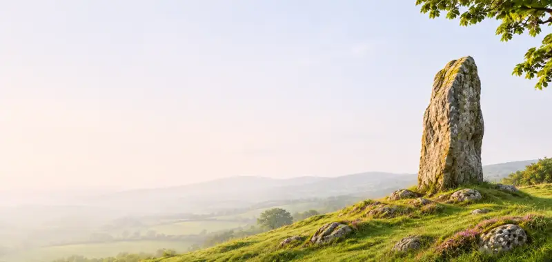
On terrace in sloping pasture near NW foot of Mount Corin. Stones, removed in 1980, and replaced in 1983 by Office of Public Works.
Full archaeological record 94 words
On terrace in sloping pasture near NW foot of Mount Corin. Stones, removed in 1980, and replaced in 1983 by Office of Public Works. Plan and elevation made in 1977 show that the stones, aligned NE-SW, stood 1.65m apart; overall length 3.4m. NE stone was 1.1m L, 0.3m T and 3.25m H. SW stone was 0.7m L, 0.9m T and 3.6m H. Standing stone (CO130-032001-) stood c. 50m to SSW of pair, and multiple-stone circle in Dunbeacon (CO130-030---) lies 400m to WSW. (O Nualláin 1988, 248, no. 136; Roberts 1988, Ch. 4, no. 49)
References
- This monument is subject to a preservation order made under the National Monuments Acts 1930 to 2014 (PO no. 4/1980).
Archaeological Survey of Ireland, National Monuments Service (CC BY 4.0) · Updated 14 January 2009 · Based on the Archaeological Inventory of County Cork. Volume 1: West Cork. It describes the site as it was when surveyed.
Visitors' notes
Badges are opinions of visitors - not verified facts. One vote per badge and visitor; no account needed.
Best time to visit
What's missing on this page?
Share a tip to find it
Share a local tradition or story
Suggest a correction
Suggest the right map location
Report a duplicate page
Ask a question
Do not include personal data. See our privacy notice.
Around Coolcoulaghta Standing Stones
Other heritage nearby
- Dunbeacon stone circleStone circle · 0.4 km
Recorded within 5 km
- 28 ringfortsArchaeological Survey of Ireland
- 5 standing stonesArchaeological Survey of Ireland
- 3 promontory fortsArchaeological Survey of Ireland
- 3 castlesArchaeological Survey of Ireland
- 1 stone circleArchaeological Survey of Ireland
- 1 holy wellArchaeological Survey of Ireland
- 1 megalithic tombArchaeological Survey of Ireland
- 1 ancient churchArchaeological Survey of Ireland
Walks and trails
- Sheep's Head - Mount Corrin LoopWalking Trail · 8.4 km · nearest point 0.0 km
- Fastnet Trails - Toormore-Barr an Bhealaigh Link WalkWalking Trail · 18.7 km · nearest point 2.6 km
- Sheep's Head - Coomkeen LoopWalking Trail · 6.9 km · nearest point 4.2 km
Outdoors, towns and places to stay
- Cadogans strand, SchullBeaches · 7.4 km
- KilcrohaneBeaches · 11 km
- Glengarriff Wood Nature ReserveNature reserves · 17 km
- Knockomagh Wood Nature ReserveNature reserves · 19 km
Other attractions nearby
- Carraig Abhainn GardensGardens · 3.2 km
- Ahakista Air India Plane Disaster MemorialAttraction · 5.4 km
- Hillside WalksNature and Wildlife · 6.6 km
- Cadogan's StrandBeach · 7.4 km
What's on nearby
- Romantic Masters with Vanbrugh & Friends2026-11-15 · 11 km