
Unofficial guide. Not the National Monuments Service, the OPW, Fáilte Ireland or the landowner. Disclaimer
At a glance
- TypeStanding stone
- Recorded sizeH 2.25m; 0.55m x 0.55m
- StatusNational Monument
What to look for
- Standing upright
Picked out from the Archaeological Survey description below.
Can you visit?
- No source says it is open to the public.Most monuments in Ireland stand on private farmland.
- Ask the landowner before crossing fields, close gates, leave the stones as you find them.Visiting responsibly
History and description
The following description is derived from the published 'Archaeological Inventory of County Carlow' (Dublin: Stationery Office, 1993). In certain instances the entries have been revised and updated in the light of recent research.
Full archaeological record 173 words
The following description is derived from the published 'Archaeological Inventory of County Carlow' (Dublin: Stationery Office, 1993). In certain instances the entries have been revised and updated in the light of recent research.
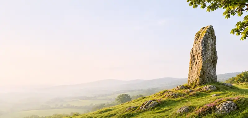
On top of a low hill in undulating terrain c. 900m W of the River Slaney, in tillage. There are good views in all directions with mountains to the NE and hills to the E and SSW, though the views N and W are somewhat impeded by hedgerow. Granite stone with mica and quartz pebble inclusions, it has a roughly square cross-section (H 2.25m; 0.55m x 0.55m) with rounded edges, and six large, deep grooves. The pillar bulges slightly towards the base where the stone is exposed due to the erosion of the ground surrounding the stone. It inclines slightly to the W. There is a build up of soil around the base, forming a small island, as a result of upcast from ploughing. There is a second standing stone (CW013-012----) c. 85m to the NW. Preservation Order no. 65/1938
References
- Date of revised upload: 26 November 2018
- This monument is subject to a preservation order made under the National Monuments Acts 1930 to 2014 (PO no. 65/1938).
Archaeological Survey of Ireland, National Monuments Service (CC BY 4.0) · Compiled by Jean Farrelly. It describes the site as it was when surveyed.
Visitors' notes
Badges are opinions of visitors - not verified facts. One vote per badge and visitor; no account needed.
Best time to visit
What's missing on this page?
Share a tip to find it
Share a local tradition or story
Suggest a correction
Suggest the right map location
Report a duplicate page
Ask a question
Do not include personal data. See our privacy notice.
Around Ardristan Stone
Other heritage nearby
- St Kathleen's WellHoly well · 2.1 km
- Tullowphelim WellHoly well · 2.2 km
- St Columba's ChurchAncient church · 2.3 km
- St Patrick's WellHoly well · 5.0 km
- Kellistown Round TowerRound tower · 5.3 km
- Rathgall HillfortHillfort · 6.3 km
Recorded within 5 km
- 9 ringfortsArchaeological Survey of Ireland
- 9 castlesArchaeological Survey of Ireland
- 8 standing stonesArchaeological Survey of Ireland
- 6 ancient churchesArchaeological Survey of Ireland
- 5 holy wellsArchaeological Survey of Ireland
- 2 abbeys & friariesArchaeological Survey of Ireland
- 1 ogham stoneArchaeological Survey of Ireland
- 1 megalithic tombArchaeological Survey of Ireland
- 1 monastic siteArchaeological Survey of Ireland
Walks and trails
- Rathwood Fox's Park TrailWalking Trail · 4.8 km · nearest point 5.0 km
- Rathwood Honeypot Nature TrailWalking Trail · 1.2 km · nearest point 5.4 km
- Rathwood Molloy's WalkWalking Trail · 2.3 km · nearest point 5.5 km
Outdoors, towns and places to stay
- KilbrannishForests · 14 km
- TullowWalled towns · 2.2 km
- CarlowWalled towns · 13 km
Other attractions nearby
- The Garden at Hardymount HouseGardens · 1.5 km
- Tullow MuseumMuseums and Attraction · 2.0 km
- Mountain Adventures 74Walking · 6.0 km
- Altamont GardensGardens · 6.1 km
What's on nearby
- Derek Ryan - Songwriter Show2026-11-08 · 13 km
- Autumn / Winter Cinemas at VISUAL2026-12-22 · 13 km