
Unofficial guide. Not the National Monuments Service, the OPW, Fáilte Ireland or the landowner. Disclaimer
At a glance
- TypePromontory fort - coastal
What to look for
- Bank and ditch
- Entrance gap
Picked out from the Archaeological Survey description below.
Can you visit?
- No source says it is open to the public.Most monuments in Ireland stand on private farmland.
- Ask the landowner before crossing fields, close gates, leave the stones as you find them.Visiting responsibly
History and description
On the jagged cliffs c. 1.5km W of Lettergesh beach. A small peninsula (N-S c. 26m), immediately to E of the stream marked 'Oweynalissa' on OS 6-inch maps, is known locally as 'Lios'.
Full archaeological record 66 words
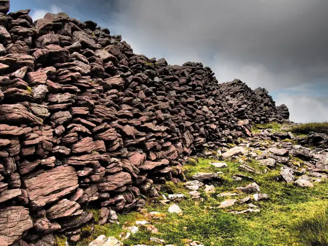
On the jagged cliffs c. 1.5km W of Lettergesh beach. A small peninsula (N-S c. 26m), immediately to E of the stream marked 'Oweynalissa' on OS 6-inch maps, is known locally as 'Lios'. At its landward end it is enclosed by a curving earthen bank (H 1.5-0.75m) with a narrow entrance (Wth 0.6m) about one third of the way along it (info. T. Robinson). Not visited.
Archaeological Survey of Ireland, National Monuments Service (CC BY 4.0) · Updated 05 August 2010 · Based on the Archaeological Inventory of County Galway Vol. I - West Galway'. Compiled by Paul Gosling. It describes the site as it was when surveyed.
Visitors' notes
Badges are opinions of visitors - not verified facts. One vote per badge and visitor; no account needed.
Best time to visit
What's missing on this page?
Share a tip to find it
Share a local tradition or story
Suggest a correction
Suggest the right map location
Report a duplicate page
Ask a question
Do not include personal data. See our privacy notice.
Around Mullaghglass
Other heritage nearby
- Renvyle CastleCastle · 6.5 km
- Well of the Seven DaughtersHoly well · 6.7 km
- Church of the Seven Daughters, CashleenAncient church · 6.8 km
- St Thomas' ChurchAncient church · 7.6 km
Recorded within 5 km
- 2 ringfortsArchaeological Survey of Ireland
- 2 holy wellsArchaeological Survey of Ireland
- 1 megalithic tombArchaeological Survey of Ireland
- 1 ancient churchArchaeological Survey of Ireland
- 1 standing stoneArchaeological Survey of Ireland
Walks and trails
- Letterfrack Poetry TrailWalking Trail · 1.3 km · nearest point 5.0 km
- Diamond HillWalking Trail · 6.3 km · nearest point 5.0 km
- Atlantic Link Waterfall WalkWalking Trail · 0.5 km · nearest point 5.0 km
Outdoors, towns and places to stay
- RenvyleBeaches · 3.6 km
- Glassilaun, KillaryBeaches · 4.0 km
- Derryclare Nature ReserveNature reserves · 17 km
- Delphi LodgeHistoric stays · 13 km
Other attractions nearby
- Renvyle BeachBeach · 3.9 km
- Islands ViewNature and Wildlife · 3.9 km
- Ireland Wild EscapesWalking · 4.8 km
- Connemara Wild EscapesWalking · 4.8 km