


Unofficial guide. Not the National Monuments Service, the OPW, Fáilte Ireland or the landowner. Disclaimer
At a glance
- TypeEcclesiastical enclosure
- StatusNational Monument
Picked out from the Archaeological Survey description below.
Can you visit?
- No source says it is open to the public.Most monuments in Ireland stand on private farmland.
- Ask the landowner before crossing fields, close gates, leave the stones as you find them.Visiting responsibly
History and description
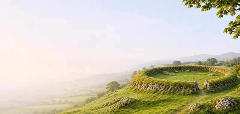
Robinson (1980) noted that ‘traces of a cashel’ could be seen around Teampall Chiaráin (GA111-002001-). However, on inspection in 1984 no evidence of one was found.
Full archaeological record 90 words
Robinson (1980) noted that ‘traces of a cashel’ could be seen around Teampall Chiaráin (GA111-002001-). However, on inspection in 1984 no evidence of one was found. It is possible that the curving boreen to the NE of the church may mirror the line of an associated ecclesiastical enclosure. It has also been suggested that the cross-inscribed pillars (GA111-002006- and GA111-002007-) to the NE and ENE of the church may be termon crosses (O’Flanagan 1927, vol. 3, 369 and facing p. 200 (nos. 2, 4) marking the boundary of the monastery.
Archaeological Survey of Ireland, National Monuments Service (CC BY 4.0) · Compiled by Olive Alcock · Updated 12 February 2016. It describes the site as it was when surveyed.
Folklore and traditions
Also recorded nearby
Named sites within 5 km with only a short entry in the Archaeological Survey.
- Poll na bPéistCave · 4.8 km
Visitors' notes
Badges are opinions of visitors - not verified facts. One vote per badge and visitor; no account needed.
Best time to visit
What's missing on this page?
Share a tip to find it
Share a local tradition or story
Suggest a correction
Suggest the right map location
Report a duplicate page
Ask a question
Do not include personal data. See our privacy notice.
Around St. Kieran's Early Medieval Ecclesiastical Site
Other heritage nearby
- St Kieran's ChurchAncient church · 0.0 km
- Saint Kieran's WellHoly well · 0.1 km
- Dún Eochla RingfortRingfort · 1.1 km
- The Bullaun of the Four BeautiesHoly well · 2.1 km
- Temple an Cheathrair Aluinn Church, OghilAncient church · 2.1 km
- Killeany Wedge Tomb OghillMegalithic tomb · 2.3 km
Recorded within 5 km
- 12 ancient churchesArchaeological Survey of Ireland
- 8 holy wellsArchaeological Survey of Ireland
- 6 ringfortsArchaeological Survey of Ireland
- 3 megalithic tombsArchaeological Survey of Ireland
- 3 promontory fortsArchaeological Survey of Ireland
- 3 high crossesArchaeological Survey of Ireland
- 2 monastic sitesArchaeological Survey of Ireland
- 1 castleArchaeological Survey of Ireland
- 1 round towerArchaeological Survey of Ireland
- 1 abbey or friaryArchaeological Survey of Ireland
- 1 caveArchaeological Survey of Ireland
Walks and trails
- Árann – Lúb Dún EochlaWalking Trail · 9.0 km · nearest point 0.2 km
- Árann – Lúb Cill MhuirbhighWalking Trail · 14.8 km · nearest point 0.3 km
- Árann – Lúb an ChorruchWalking Trail · 10.3 km · nearest point 0.6 km
Outdoors, towns and places to stay
- Cill Mhuirbhigh, Inis MórBeaches · 4.3 km · Excellent Quality (2025)
- Trá Inis Oírr (Main Beach)Beaches · 13 km · Excellent Quality (2025)
Other attractions nearby
- Dive AranNature and Wildlife · 1.8 km
- Aran Bike HireNature and Wildlife · 1.9 km
- Aran Sea Tours and FishingNature and Wildlife · 2.0 km
- Dún Dúchathair (The Black Fort)Historic Houses and Castle · 3.0 km