
Unofficial guide. Not the National Monuments Service, the OPW, Fáilte Ireland or the landowner. Disclaimer
At a glance
- TypeEcclesiastical enclosure
- Date or period mentionedmedieval
What to look for
- Graveyard
Picked out from the Archaeological Survey description below.
Can you visit?
- No source says it is open to the public.Most monuments in Ireland stand on private farmland.
- Ask the landowner before crossing fields, close gates, leave the stones as you find them.Visiting responsibly
History and description
Situated towards the N and E edge of a plateau with rock outcrop. The medieval church (LE025-096001-) and the rectangular graveyards are imposed on the surrounding curvilinear earthworks.
Full archaeological record 103 words
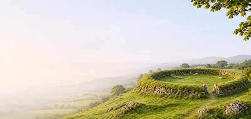
Situated towards the N and E edge of a plateau with rock outcrop. The medieval church (LE025-096001-) and the rectangular graveyards are imposed on the surrounding curvilinear earthworks. These cover an area of about 15 ha (c. 60 acres) and are protected by a Preservation Order (No. 3/1994). They consist of grass-covered earth and stone banks (Wth 4-6m; H 0.5-1m) which form a roughly circular ecclesiastical enclosure (diam. c. 110m) around the principal church, which is undoubtedly the site of the original church.
This monument is subject to a preservation order made under the National Monuments Acts 1930 to 2014 (PO no. 3/1994).
Archaeological Survey of Ireland, National Monuments Service (CC BY 4.0) · Compiled by Michael Moore · Updated 6 July, 2017. It describes the site as it was when surveyed.
Visitors' notes
Badges are opinions of visitors - not verified facts. One vote per badge and visitor; no account needed.
Best time to visit
What's missing on this page?
Share a tip to find it
Share a local tradition or story
Suggest a correction
Suggest the right map location
Report a duplicate page
Ask a question
Do not include personal data. See our privacy notice.
Around Drumlane ecclesiastic site
Other heritage nearby
- St Caillín's Church, FenaghAncient church · 0.0 km
- Fenagh ChurchAncient church · 0.2 km
- St Bridget's WellHoly well · 5.5 km
- Tober PatrickHoly well · 6.0 km
- Tober MurrayHoly well · 6.0 km
- St. Bridget's WellHoly well · 6.1 km
Recorded within 5 km
- 38 ringfortsArchaeological Survey of Ireland
- 11 standing stonesArchaeological Survey of Ireland
- 8 megalithic tombsArchaeological Survey of Ireland
- 3 ancient churchesArchaeological Survey of Ireland
- 2 holy wellsArchaeological Survey of Ireland
- 2 castlesArchaeological Survey of Ireland
Walks and trails
- Ballyduff Lock to Aghoo Bridge Walking TrailWalking Trail · 7.9 km · nearest point 2.7 km
- Ballinamore Looped Walking TrailWalking Trail · 4.4 km · nearest point 2.9 km
- Ballinamore Looped Cycling TrailRoad Cycling Trail · 4.4 km · nearest point 2.9 km
Outdoors, towns and places to stay
- Keeldra LoughBeaches · 12 km · Excellent Quality (2025)
What's on nearby
- Santa's Underground Grotto2026-12-05 · 20 km
- Santa's Underground Grotto2026-12-06 · 20 km
- Santa's Underground Grotto2026-12-12 · 20 km