


Unofficial guide. Not the National Monuments Service, the OPW, Fáilte Ireland or the landowner. Disclaimer
At a glance
- TypeCross - High cross
- Recorded size 0.86m x 0.69m; H 0.43m
- StatusNational Monument
What to look for
- Carved scenes
- Ring
- Base
Picked out from the Archaeological Survey description below.
Can you visit?
- No source says it is open to the public.Most monuments in Ireland stand on private farmland.
- Ask the landowner before crossing fields, close gates, leave the stones as you find them.Visiting responsibly
History and description
National Monument No. 125. Situated seven metres WSW of the E gable of the church (TN018-001001-), having been moved from its original location (Harbison 1970, 232-3).
Full archaeological record 450 words
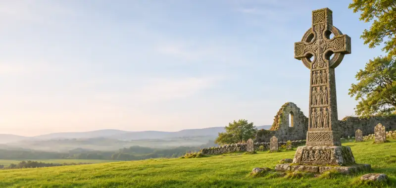
National Monument No. 125. Situated seven metres WSW of the E gable of the church (TN018-001001-), having been moved from its original location (Harbison 1970, 232-3). The sandstone base (dims. 0.86m x 0.69m; H 0.43m) is decorated with a sequence of horses on its S face. There is nothing visible on the N or E faces. The W face is unclear. The shaft of the cross is missing and has been replaced with a plain concrete shaft, with pebble inclusions. The sandstone with quartz head of the cross depicts Christ crucified on the W face. The Christ figure, carved in relief, is wearing a long robe with arms extended, neither the hands nor head survive. The cross was encircled but only the lower portion of this open circle survives. The N and S sides of the shaft and the outer surface of the circle are decorated with interlace. The E face is very worn with possible faint remains of an interlace pattern. In 1922, Crawford's photograph of the cross at Monaincha shows that the head of the cross sat directly into the base without any evidence for a shaft (Crawford 1922, 81).
Described by Harbison as 'The head and base of a cross have been united by means of a modern shaft outside the west end of the Romanesque church at Monaincha, near Roscrea. There is no compelling reason why base and head should not be contemporary.
Base
The base is about 43cm high, and measures 85cm by 70cm at ground level. Its east face and north side are undecorated.
SOUTH SIDE
The south side bears two horsemen, between whom there is a large figure with drooping head, possibly speared in the back by the right-hand rider. The horses stand on stepped crosses in relief with sunken equal-armed crosses in the centre. O Sabhaios suggests that the scene may represent Exodus/the 'world'.
WEST FACE
The west face obviously bears figure sculpture, but its nature can no longer be discerned.
Head
The head is about 93cm high and 61cm across the arms. The shaft measures 29cm in width and 20cm in depth. Only the two lower segments of the ring survive, and the armpits have a stepped form.
EAST FACE
The east face bears much-worn animal interlace.
WEST FACE : THE CRUCIFIED CHRIST
The west face bears a belted figure of Christ crucified, standing out about 6cms in relief. He is clad in a long robe, possibly belted at the slender waist, and dropping vertically from the broader hips.
SIDES
Both sides bear much-worn animal interlace. The top of the north side of the shaft has a fragmentary panel bearing the heads of two unidentified figures' (Harbison 1992, vol. 1, 138-9).
Archaeological Survey of Ireland, National Monuments Service (CC BY 4.0) · Updated 22 September 2008 · Based on the The Archaeological Inventory of County Tipperary. Vol. 1 - North Tipperary' compiled by Jean Farrelly and Caimin O'Brien. It describes the site as it was when surveyed.
Visitors' notes
Badges are opinions of visitors - not verified facts. One vote per badge and visitor; no account needed.
Best time to visit
What's missing on this page?
Share a tip to find it
Share a local tradition or story
Suggest a correction
Suggest the right map location
Report a duplicate page
Ask a question
Do not include personal data. See our privacy notice.
Around Monaincha High Cross
Other heritage nearby
- Monaincha ChurchAncient church · 0.0 km
- Ballaghmore CastleCastle · 3.1 km
- Roscrea ChurchAncient church · 3.3 km
- Roscrea Round TowerRound tower · 3.4 km
- Roscrea Heritage Centre – Roscrea Castle and Damer HouseCastle · 3.5 km
- Roscrea Castle and Damer HouseCastle · 3.5 km
Recorded within 5 km
- 16 standing stonesArchaeological Survey of Ireland
- 11 ringfortsArchaeological Survey of Ireland
- 8 castlesArchaeological Survey of Ireland
- 6 ancient churchesArchaeological Survey of Ireland
- 4 monastic sitesArchaeological Survey of Ireland
- 2 high crossesArchaeological Survey of Ireland
- 2 abbeys & friariesArchaeological Survey of Ireland
- 1 holy wellArchaeological Survey of Ireland
- 1 round towerArchaeological Survey of Ireland
- 1 megalithic tombArchaeological Survey of Ireland
Walks and trails
- Birr Cycle Hub Loop 4 ARoad Cycling Trail · 40.1 km · nearest point 6.2 km
- The Source of the Nore Walking TrailWalking Trail · 2.6 km · nearest point 7.8 km
- Birr Cycle Hub Loop 4Road Cycling Trail · 47.0 km · nearest point 8.3 km
Outdoors, towns and places to stay
- Golden GroveForests · 6.0 km
- Glasderry WoodForests · 9.6 km
- Coolacurragh Wood Nature ReserveNature reserves · 18 km
- Grantstown Wood and Grantstown Lough Nature ReserveNature reserves · 19 km
- Roundwood HouseHistoric stays · 17 km
Other attractions nearby
- St. Crónán's High Cross at Black MillsHistoric Houses and Castle · 3.4 km
- Roscrea Heritage Centre – Roscrea Castle and Damer HouseHistoric Houses and Castle · 3.5 km
- Roscrea Castle and Damer HouseHistoric Houses and Castle · 3.5 km
- Climb Ireland - ToursNature and Wildlife · 3.5 km
Excavations nearby
- E3633 Derrymore 2, County TipperaryRoad-scheme excavation report (TII) · 2.3 km
- E3622 The Sheehys 1, County TipperaryRoad-scheme excavation report (TII) · 2.6 km